I’m not the type of hiker who keeps going to the same region time after time – but rather like to explore new areas on every trip. The Vercors, a wild karstic limestone plateau in the French pre-alpine ranges with summits along the eastern rim peaking to 2000-2369m, is kind of an exception to this rule. I crossed the Vercors with a bunch of friends in winter 2007 (my first winter trek!) and returned in 2009 for my first solo winter trip. Last year, Fre joined me for a first first early summer reconnaissance of the Mont Aiguille – Grand Veymont area.
When I started making plans for a snowshoe flap with Björn, Marjolijn, Siegried, the Vercors was on our list again from the start. The huge advantage of the plateau is that one can design beautiful varied routes with only minimal avalanche danger, and there is a whole bunch of small mountain cabins where you can spend the night in adverse weather conditions. So, as our 7-day trip started to draw closer and the weather forecast looked complicated, we decided to drive to Col de Rousset, the most direct access point to the interesting southern part of the area.
It was the most varied trip I have made in the Vercors so far, with a few less classic routes. The weather shifted from spring conditions to a few windy, dull days with snow and rain, and finally to beautiful sunny weather again. We adapted our route to the conditions to get the very best out of the trip – and I have to say we were pretty successful in doing so 🙂 Enjoy!

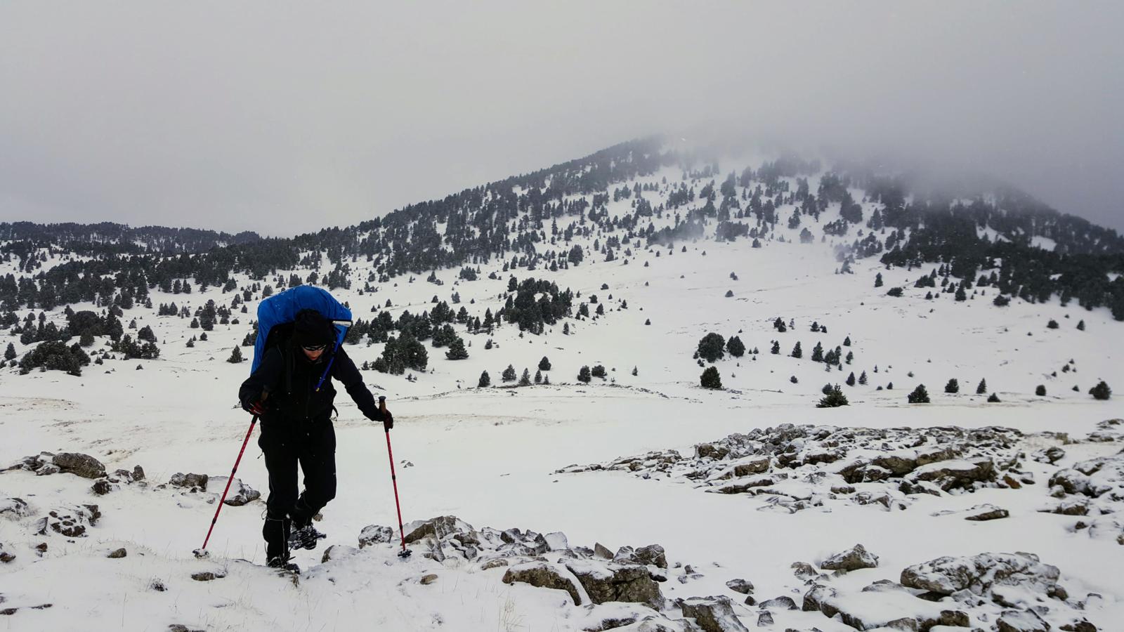
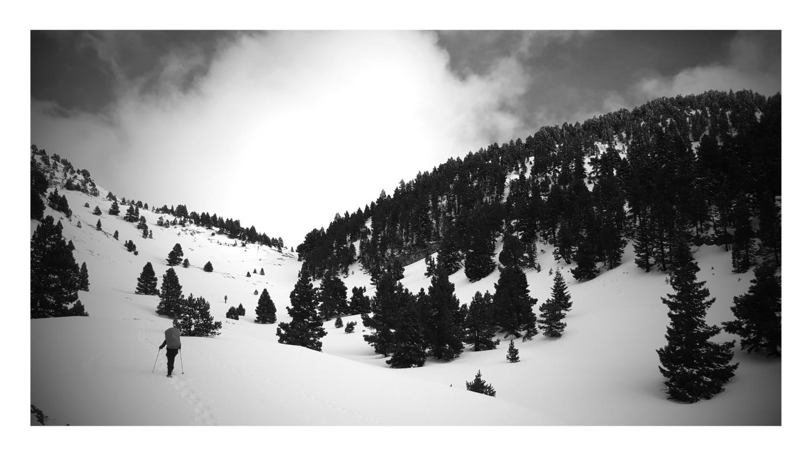
Hiking from Col de Rousset to Cabane de Pré Peyret on the first day.

Hiking from Col de Rousset to Cabane de Pré Peyret on the first day.
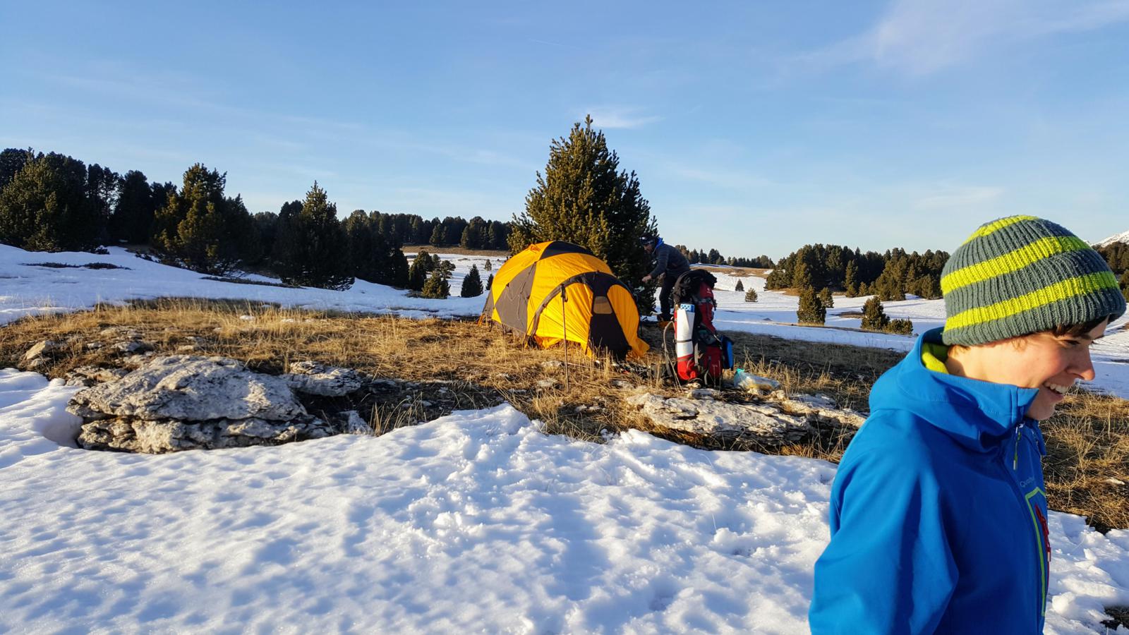
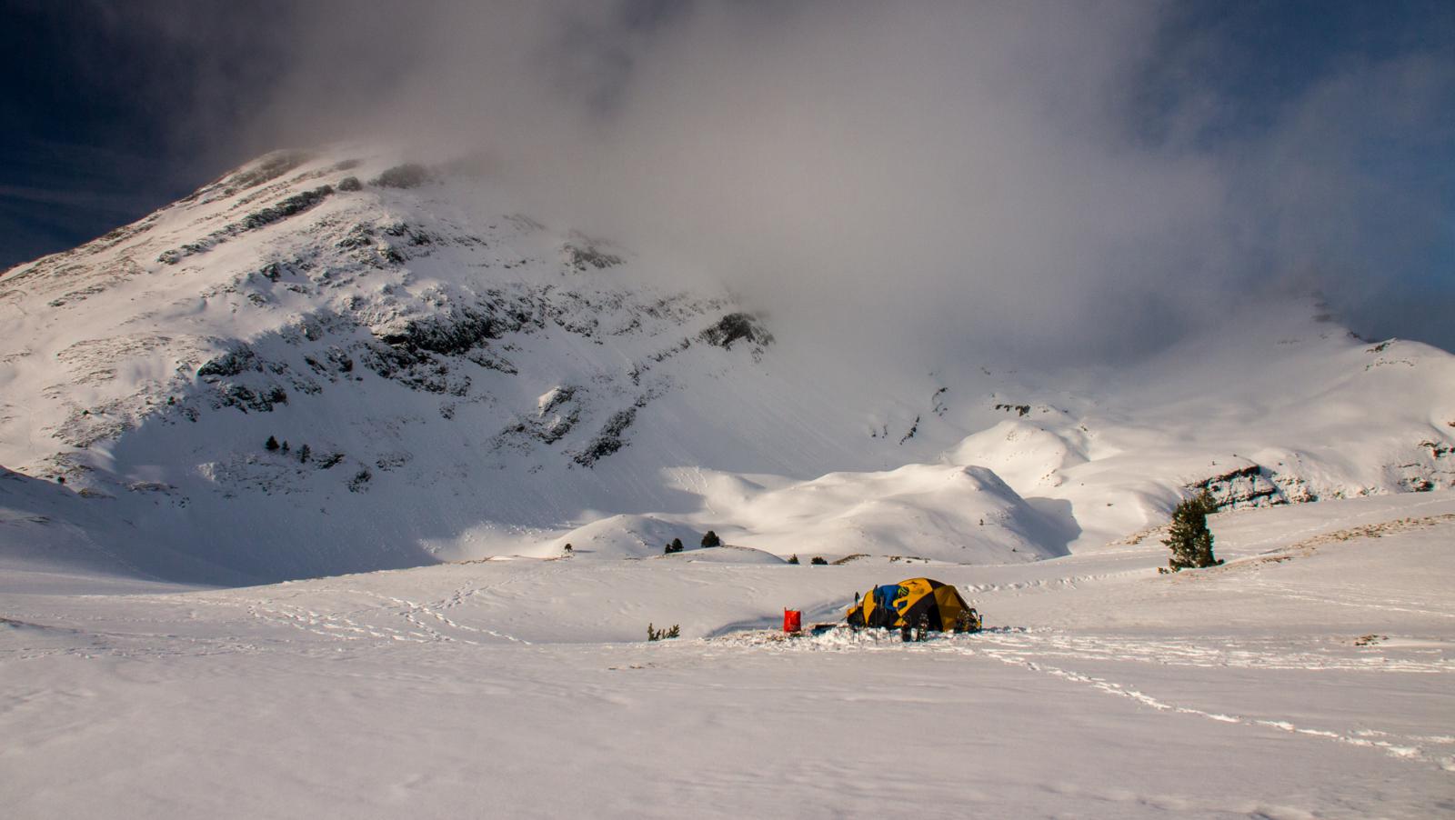
First camp near Cabane de Pré Peyret

First camp near Cabane de Pré Peyret
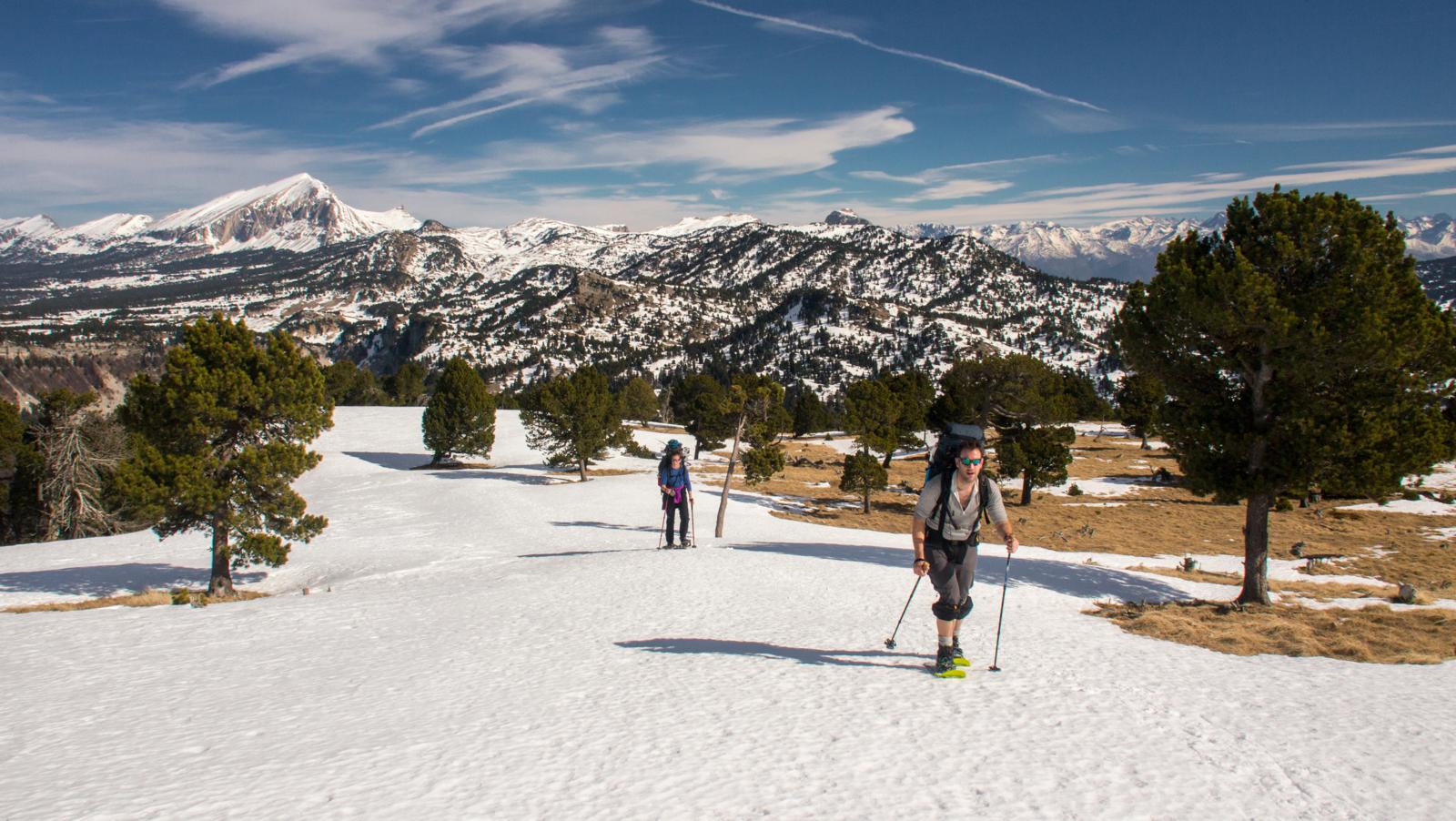
Climbing towards the summit of Rocher de Plautret

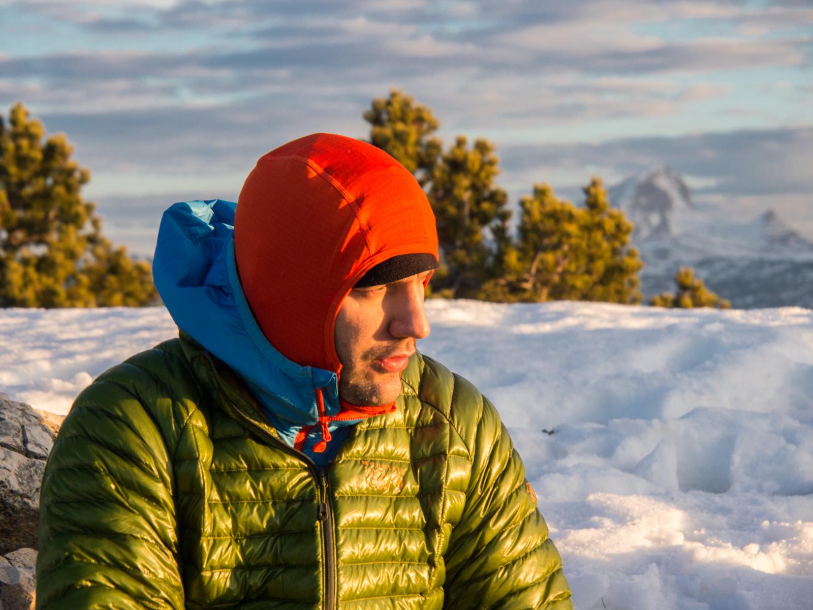
Sunrise over the Southern French Alps from Tête du Petit Jardin

First sunrays on the Vercors Plateau, with Grand Veymont (2369m) in the centre, from the summit of Tête du Petit Jardin
Björn on Tête du Petit Jardin

Descending from Tête du Petit Jardin

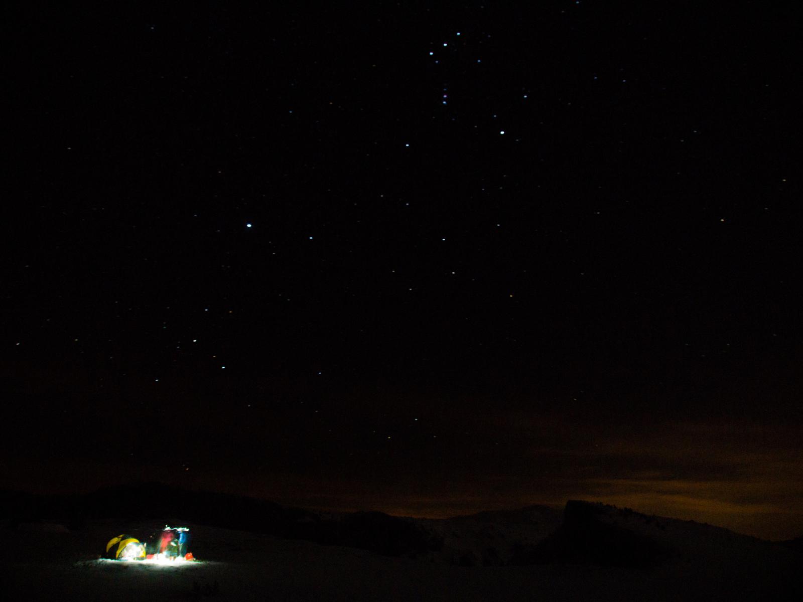
Bivy on the slopes of Tête du Petit Jardin

Bivy on the slopes of Tête du Petit Jardin

Summiting Croix du Lautaret (1972m) on a windy afternoon
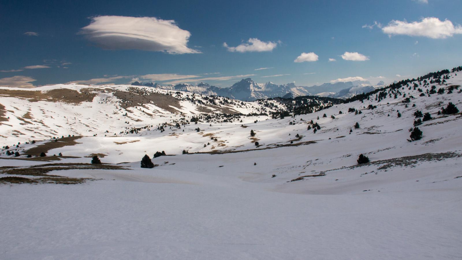
From Croix du Lautaret towards Tête Chevalière

Siegried on the Tête Chevalière, with the summits of the Obiou range in the back

Foul weather on the way from Cabane de Chamailloux to la Grande Cabane
Foul weather on the way from Cabane de Chamailloux to la Grande Cabane
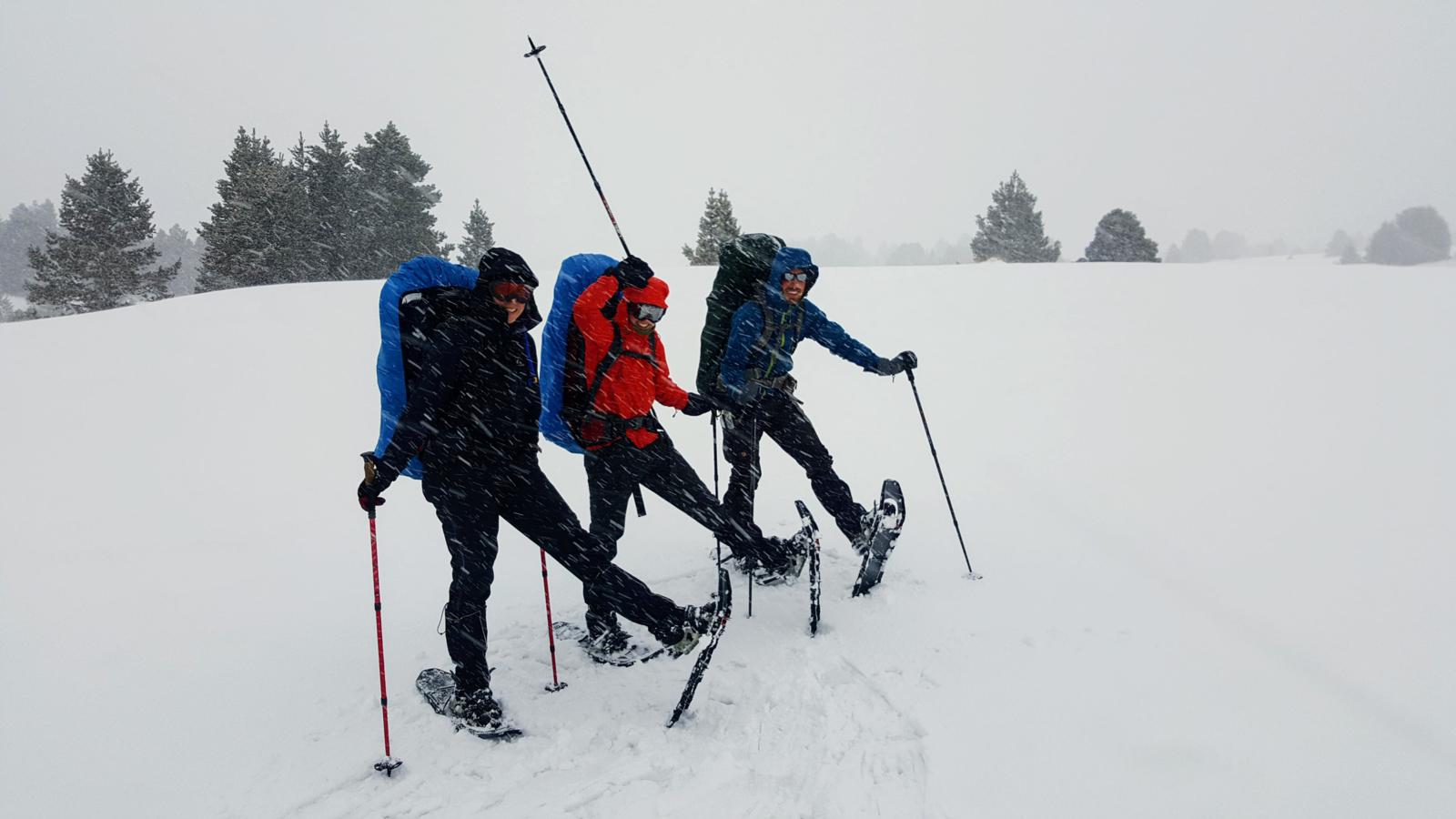
Foul weather on the way from Cabane de Chamailloux to la Grande Cabane
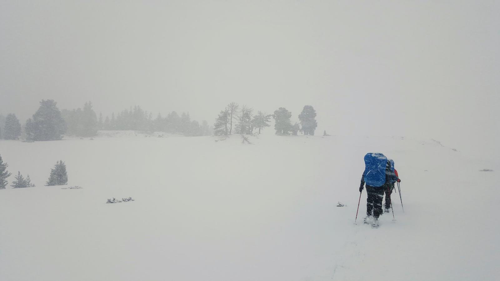
Foul weather on the way from Cabane de Chamailloux to la Grande Cabane

A new style of camping at la Grande Cabane
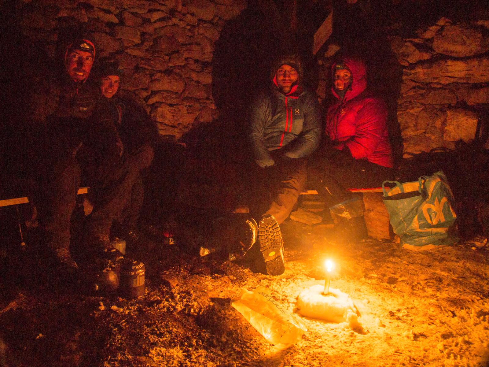
Evening at la Grande Cabane

Breakfast at La Grande Cabane

Climbing up through La Combe Verte on the way to la Jasse du Play

Get the stove going at Cabane du Jasse du Play
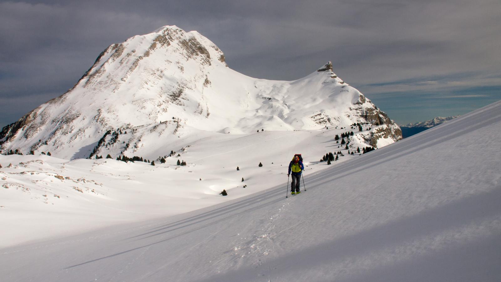
Climbing towards Pas de Chattons

The western slopes of Grand Veymont (2369m)
Final bivy on the beautiful plateau south of Grand Veymont (2369m)

Mont Aiguille (2087m) as seen from our bivy spot

Final bivy on the beautiful plateau south of Grand Veymont (2369m)

Final bivy on the beautiful plateau south of Grand Veymont (2369m)
Final bivy on the beautiful plateau south of Grand Veymont (2369m)

Final bivy on the beautiful plateau south of Grand Veymont (2369m)

Final bivy on the beautiful plateau south of Grand Veymont (2369m)
On the way to Plaine de la Queyrie

Descending to Plaine de la Queyrie – the weather quicky got worse with wind gust up to 90km/h by the time we reached the car – time to get out!

Overview of the route – we started/finished at Col de Rousset, about 6km off the western edge of the map

Looks great, wonderful trip!
Ciao E’ possibile avere delle info dettagliate da dove sei partito